
Severe thunderstorms formed across the Ohio Valley into the Mid-Atlantic and Northeast on Tuesday as millions were forced to stay indoors to avoid damaging winds, heavy rain, and flash flooding.
More than 29 million people in parts of Pennsylvania, New York, New Jersey, Delaware, and Connecticut were under a tornado watch until 9 p.m. ET, according to the Storm Prediction Center. The watch went out in major cities, including New York City; Philadelphia; Newark, New Jersey; and Bridgeport, Connecticut.
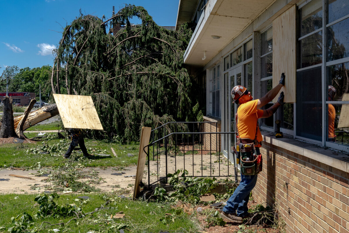
Wind gusts greater than 60 mph raised concerns of downed trees and power lines across the region. Hail and a few tornadoes remain possible, particularly in the Appalachians, and flash flooding threatened areas facing heavy downpours.
“Numerous severe thunderstorms are expected across a broad region from the Tennessee and Ohio Valleys to the Mid-Atlantic and Northeast States into tonight,” the Storm Prediction Center said. “Swaths of damaging wind gusts are expected to be the most common impact, but some tornadoes and hail are possible as well.”
Denise Davis, a resident of Clermont County, Ohio, told CNN affiliate WKRC that she rushed her grandchildren to the basement as soon as she heard the tornado warning.
“The winds picked up, the lights were flickering and then I heard a real loud bang, which of course was the tree falling onto the house,” she said.
Davis said that everyone was safe under the basement stairs when a tree fell onto her house.
“I cried and then the grandbabies were crying,” Davis said, recounting the moment she first saw the tree on her house. “I just don’t know what to do from here.”
The storms moved eastward from the Ohio Valley. Major cities along the I-95 corridor from Washington, D.C., to New York faced severe thunderstorms during the evening commute, and two tornadoes were reported in northern New Jersey, with flash flood warnings issued for New York City.
A cold front, combined with a strong mid-level wave, abundant moisture, and atmospheric instability, fueled the conditions. The Storm Prediction Center detailed an Enhanced Risk of severe thunderstorms across parts of the Ohio Valley to the Mid-Atlantic and Northeast. In the Tennessee and Ohio Valley regions, gusts of 55 to 70 mph were predicted, with brief tornadoes possible and large hail less likely. Farther east, slightly lower buoyancy still supported damaging winds up to 65 to 70 mph.
In Northeast Ohio, western Pennsylvania and beyond, morning and early afternoon storms transitioned into stronger afternoon and evening redevelopment. Local National Weather Service offices, like those in Cleveland and Pittsburgh, issued warnings and spotter reports.
Forecasters noted storms could linger into late Tuesday night. The conditions involved high moisture content, partly influenced by remnants from Tropical Storm Bertha farther south, though the primary driver remained the shortwave trough moving southeastward.
 Friends Read Free
Copy
Facebook
Tweet
Friends Read Free
Copy
Facebook
Tweet