
")
")
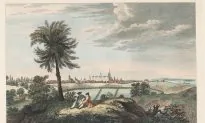
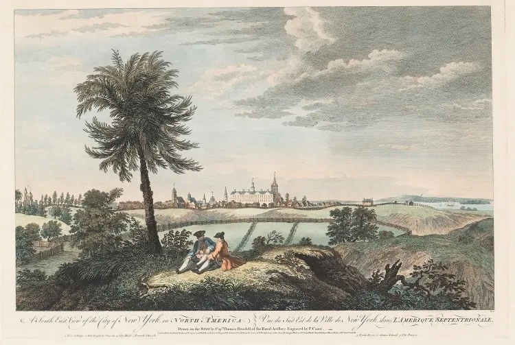
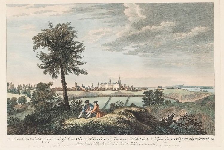
NEW YORK—Manhattan’s grid is both iconic and useful, helping tourists find their way around and assisting urban planners with (mostly) straight lines and numbered streets.
Yet why stray from the grid beyond 155th Street? Where did the public squares dotting the island come from? And why does Broadway snake diagonally across the grid?
The Greatest Grid: The Master Plan of Manhattan, a new exhibit at the Museum of the City of New York, answers these and many other questions about the grid, while showing how difficult it was to impose it upon an island replete with farmland, hilly and rocky terrain, and resistant residents.
The New York State Legislature appointed three commissioners, with an act on April 3, 1807, to establish a binding city plan, “most conducive to the public good,” states the exhibit.
Simeon Dewitt, one of the commissioners and a mapmaker under George Washington during the American Revolution, most likely chose the rectangular plan, having laid grids elsewhere in the state, such as Albany in 1794.
John Randel Jr. was hired as the secretary and surveyor general. He spent four years surveying the island, erecting milestones, and creating the official new map of New York City. Landowners and residents weren’t happy with the grid plan.
“They often blocked Randel’s team of surveyors from setting foot on their property and removed survey markers from the ground,” states an exhibit plaque. “Randel himself was often arrested for trespassing. To some residents, the survey was not a neutral data-gathering exercise but the first step in the usurpation of their land.”
Rich landowners either resisted or sought to make money off the new plan, like James Beekman, who turned his family’s land into residential properties on the East Side.
Some landowners, along with concerned citizens, are behind many public squares in use today, including Union Square (established in 1831) and Tompkins Square (established in 1826, though used as a parade ground until the early 1870s). For instance, Peter Stuyvesant donated land for Stuyvesant Square. The city subsidized their creation since property taxes subsequently rose.
")
Andrew Haswell Green is responsible for Broadway’s irregular route and the grid’s condition above 155 Street. He designed “a grand thoroughfare,” known as The Boulevard, from 59th Street to 155th Street, complete with a central landscaped pedestrian walkway, to stymie grumblings that the city’s roads were inferior to Europe’s.
Broadway originally ran until 10th Street before merging with Bloomingdale Avenue, which ended at 23rd Street. Pieces of other roads were linked to the road in the middle of the 19th century, including The Boulevard.
Green sought to preserve parts of Northern Manhattan, forming Inwood Hill Park, among others, and wanted to work with the topography, which is why above 155 Street the grid’s condition becomes suspect.
More behind-the-grid history, including the story behind why Lexington Avenue and Madison Avenue interrupt numbered avenues, can be seen through April 15 at the Museum of the City of New York.
 Friends Read Free
Copy
Facebook
Tweet
Friends Read Free
Copy
Facebook
Tweet