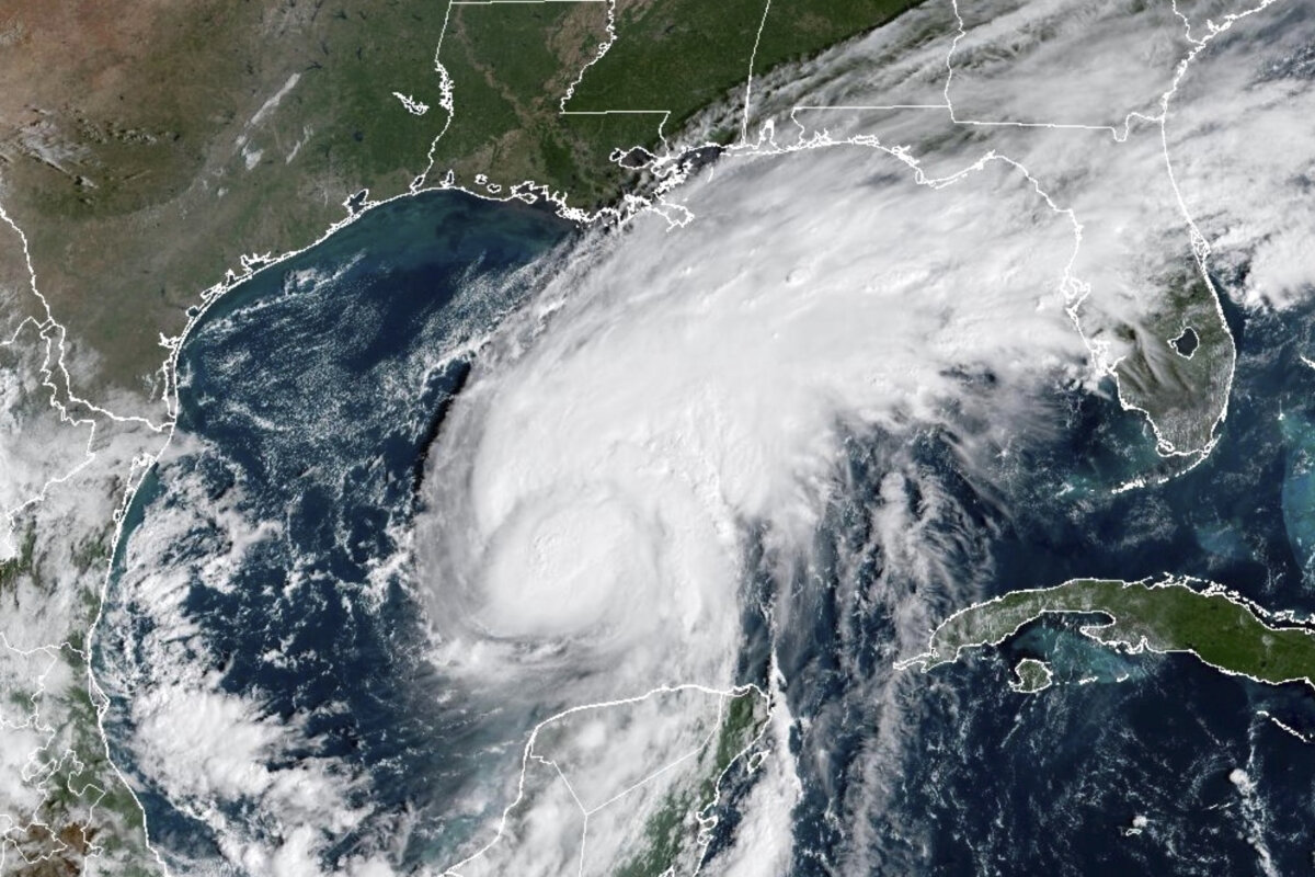

Hurricane Isaias is expected to make landfall on the Florida Panhandle on Friday evening.
The National Hurricane Center warned of significant impacts across the Gulf Coast region.
However, it appears that not all sides of a hurricane are created equal, and the Sunshine State is expected to face the brunt of it—especially when it comes to storm surge.
“It’s a pretty big, lopsided ugly system, and we just so happen to be situated on the east side of that system,” DeSantis said during an Oct. 9 press conference in Escambia County.
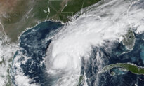
Satellite images reveal Isaias’s lopsidedness, with most of its storm bands being pulled along its eastward side.
The worst levels of forecasted storm surge—six to nine feet—are expected to lay siege to lands from the Alabama/Florida state line, across the greater Pensacola area, to Grayton Beach.
East of that, four to seven feet of surge is expected across Panama City and Mexico Beach down to Indian Pass.
In the Big Bend region, there could be as much as five feet of storm surge, and the rest of the Florida west coast down to Tampa Bay may see up to three feet.
Impacts could be felt across northern and central Florida, hundreds of miles away from where the storm’s center makes landfall.
This includes more rain in an already inundated part of the state from last week’s rains, and the risk of tornadoes.
“We are going to see higher water levels throughout not just the Panhandle, but throughout other parts of northern Florida, even throughout parts of central Florida, because of the outer bands,” DeSantis said.
“Some of these areas are already saturated, so you’re dumping more water. There is going to be an increased risk of floods. Our first responders are keyed into that.”
All of this is because the Sunshine State will be on Isaias’s eastern side, which is the more harmful side when it comes to storm surge.
The National Weather Service’s Warning Coordination Meteorologist Jessica Chace spoke with The Epoch Times in a phone call on Oct. 8 and explained why the east side of a hurricane is more deadly.
She said hurricanes spin counterclockwise, which increases the movement of wind and water in a northeasterly direction, essentially pushing more water and wind onto shore.
“We like to say that … water goes where wind pushes it,” she said. “So you have all that wind energy with that water that just … pushes it on shore. So that’s what we’re looking at.”
Chace also clarified that the storm surge forecast does not factor in wave action, and that would further increase the total water height hitting the shore.
“We could see wave heights on top of that storm surge. You know, five to 10 feet, and so it just really makes for a very, very life-threatening situation.”
At 11 a.m. ET on Oct. 9, the eye of Hurricane Isaias was tagged 195 miles south of Pensacola, Florida, moving north-northeast at about 12 mph.
With maximum sustained winds of 120 mph, it is now the first major hurricane to form in the Atlantic this storm season.
Isaias is expected to stay a hurricane when it makes landfall.
Mandatory evacuation orders have been issued to coastal communities, and DeSantis confirmed that search and rescue teams will be ready to deploy as soon as possible after the storm passes.
 Friends Read Free
Copy
Facebook
Tweet
Friends Read Free
Copy
Facebook
Tweet