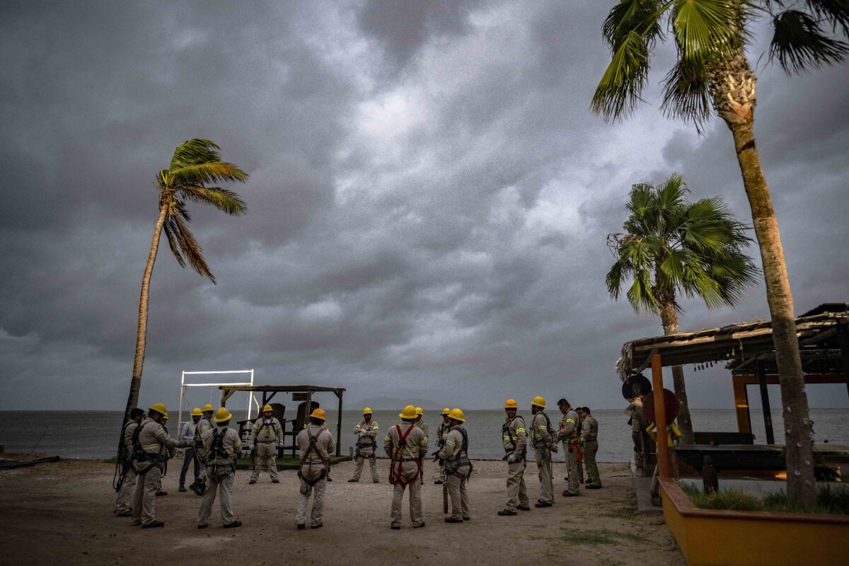

Flood watches and warnings have been triggered across 10 states as Hurricane Polo advances through Mexico towards the U.S. border.
The National Hurricane Center tagged Polo’s center in the Mexican state of Sonora around midday local time on Sept. 29.
The National Weather Service has issued a flood watch for parts of Arizona, New Mexico, Utah, Colorado, Texas, Oklahoma, Kansas, Nebraska, Iowa, and Missouri.
Radar indicated that Polo’s outer bands were already impacting those southwestern states, especially New Mexico, which appears to be nearly completely under stormy conditions.
Parts of Arizona and New Mexico are also under flash flood warnings. The National Weather Service warned residents to stay off the roads and clear of river and creek beds and other low-lying areas.
“Heavy rain and flash flooding shift to the southern Rockies and Southern Plains on Wednesday and Thursday, with a broad area of flood concerns extending to the Great Lakes,” the National Weather Service’s Weather Prediction Center forecast.
It added that an upper-level low-pressure system is expected to mix with Polo remnants and draw on some of that tropical moisture.
Rainfall amounts across the region are expected to remain under six inches with most areas expecting around two to three inches of rain, with localized areas reaching five or six inches.
But a major contributor to flooding, especially flash flooding, is not necessarily the amount of rain an area receives. Rather, it is the rate at which rain falls.
The National Weather Service offices in Phoenix and Albuquerque anticipated a high chance of rainfall rates of up to two inches per hour.
“Slow-moving thunderstorms will continue this evening across southeast Arizona and western New Mexico, with a line of heavy storms expected overnight from southern and eastern New Mexico into West Texas, including the Pecos River valley,” the prediction added.
“Saturated soils, burn scars, canyons, and low-water crossings are especially vulnerable, where locally significant flash flood concerns exist.”
A civil emergency message was sent in New Mexico specifically warning people in Ruidoso of an increased landslide risk.
Corners of New Mexico and Texas are also under a wind advisory, with gusts of wind expected to reach 55 mph.
Tornado risks for southeast New Mexico and west Texas are also possible, but as of late Tuesday afternoon, no tornado warnings had been issued.
 Friends Read Free
Copy
Facebook
Tweet
Friends Read Free
Copy
Facebook
Tweet