
A tsunami advisory was issued on Sept. 18 for parts of Alaska’s Aleutian Islands after a powerful 7.8-magnitude earthquake struck off the east coast of Russia’s Kamchatka Peninsula, U.S. officials said.
The National Tsunami Warning Center in Palmer, Alaska, said the tsunami advisory covered the chain from Amchitka Pass, 125 miles west of Adak, to Attu, the westernmost island. Residents were urged to move away from beaches, harbors, and inlets, and follow instructions from local emergency officials.
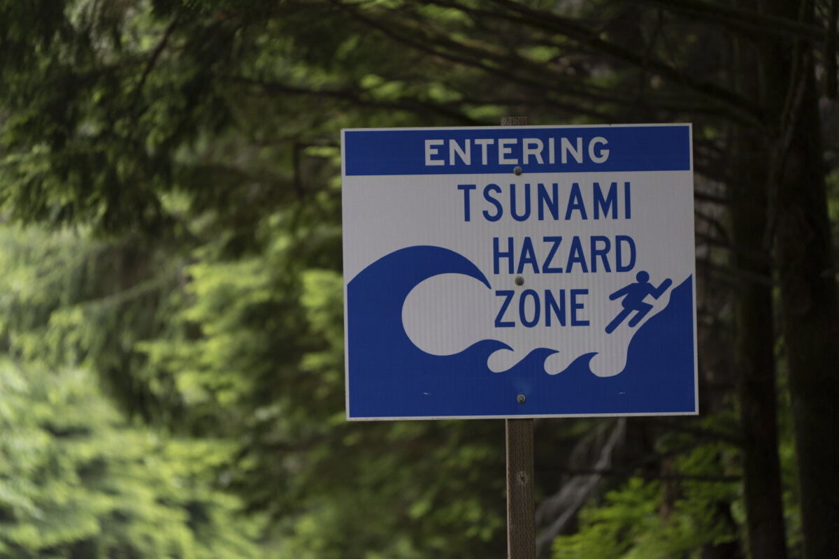
“Do not go to the shore to observe the tsunami,” the advisory states. “If you feel a strong earthquake or extended ground rolling take immediate protective actions such as moving inland and/or uphill preferably by foot.”
The quake struck at 10:58 a.m. Alaska time, about 90 miles east of Petropavlovsk-Kamchatsky, Russia, at a depth of about six miles, according to preliminary data. Tsunami waves were forecast to reach Shemya in the Aleutians around 12:20 p.m. local time. No unusual wave activity had been observed immediately after the quake.
The Pacific Tsunami Warning Center in Honolulu said waves reaching three to nine feet above tide level were possible along parts of Russia’s Pacific coast.
“Persons caught in the water of a tsunami may drown, be crushed by debris in the water, or be swept out to sea,” the agency warned.
Officials in Hawaii said it was too early to determine whether the islands faced any threat, though the earliest possible arrival there would be mid-afternoon local time.
The alert comes less than two months after a stronger 8.8-magnitude earthquake struck off Kamchatka on July 29, triggering tsunami warnings and advisories across the northern Pacific. That event forced evacuations from Alaska to New Zealand, sent four-foot waves into Hawaii, and produced tidal swings of up to 2.5 feet in California. Russian officials at the time reported 10-foot waves hitting coastal areas of Kamchatka, damaging buildings and forcing residents to flee inland.
Officials at the National Oceanic and Atmospheric Administration (NOAA) later credited real-time water level data with improving forecasts during that July event. NOAA’s tsunami-capable tide gauges—which transmit water level data every minute—detected the waves first at Amchitka in the Aleutians before readings were picked up across the Pacific, from Hawaii’s Kahului Harbor to Crescent City, California, and even Pago Pago in American Samoa. The early data gave West Coast officials eight to 12 hours of lead time to issue evacuation orders, according to NOAA.
Both the July and September earthquakes struck along the seismically active Pacific “Ring of Fire,” where tectonic plates collide, making the region especially prone to major quakes and tsunamis.
 Friends Read Free
Copy
Facebook
Tweet
Friends Read Free
Copy
Facebook
Tweet