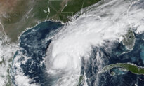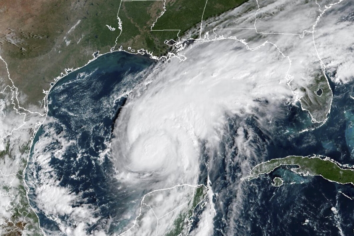

The Atlantic’s first hurricane of the season officially made landfall as a dangerous Category 2 storm.
Hurricane Isaias made landfall near Destin, Florida, with maximum winds of 105 mph, around 9:30 p.m. ET, according to the National Hurricane Center.
Evacuation warnings for the area were given out well in advance, and Florida’s highway patrol began closing roadways once sustained winds of more than 39 mph were recorded. Scores of rescue teams remain pre-positioned and standing by to enter the scene once conditions improve enough.
Just before its arrival, around 10 p.m. ET, Florida Gov. Ron DeSantis held a press conference from the state’s emergency operations center in Tallahassee.
Isaias emerged near the Yucatan as a Tropical Storm on Oct. 7, and quickly developed into a major hurricane by Oct. 9, with maximum sustained winds reaching 120 mph before deteriorating.
The National Hurricane Center consistently kept its projected track on the Gulf Coast between the Mouth of the Mississippi and Panama City, with the center of that forecast cone being around Alabama’s greater Mobile Bay Area. But Isaias continued to trek slightly east, ultimately making landfall in the Sunshine State.
The Atlantic Hurricane Season begins on June 1 every year. While the 2026 season has seen several tropical storms, Isaias set a record for the latest first hurricane to form since the satellite era began in the 1960s. It falls short of the all-time latest start, which was set in 1905 by a storm that formed only a few hours later on Oct. 8.
The unusual calm of this hurricane season is credited to the increased wind shear over the Gulf of America and the Caribbean brought about by the ongoing El Niño weather pattern.
Nevertheless, Isaias is expected to go farther inland and deliver debilitating storm conditions across the South, from Georgia and the Carolinas to Tennessee and parts of Appalachia.
This is a breaking story and will be updated.
 Friends Read Free
Copy
Facebook
Tweet
Friends Read Free
Copy
Facebook
Tweet