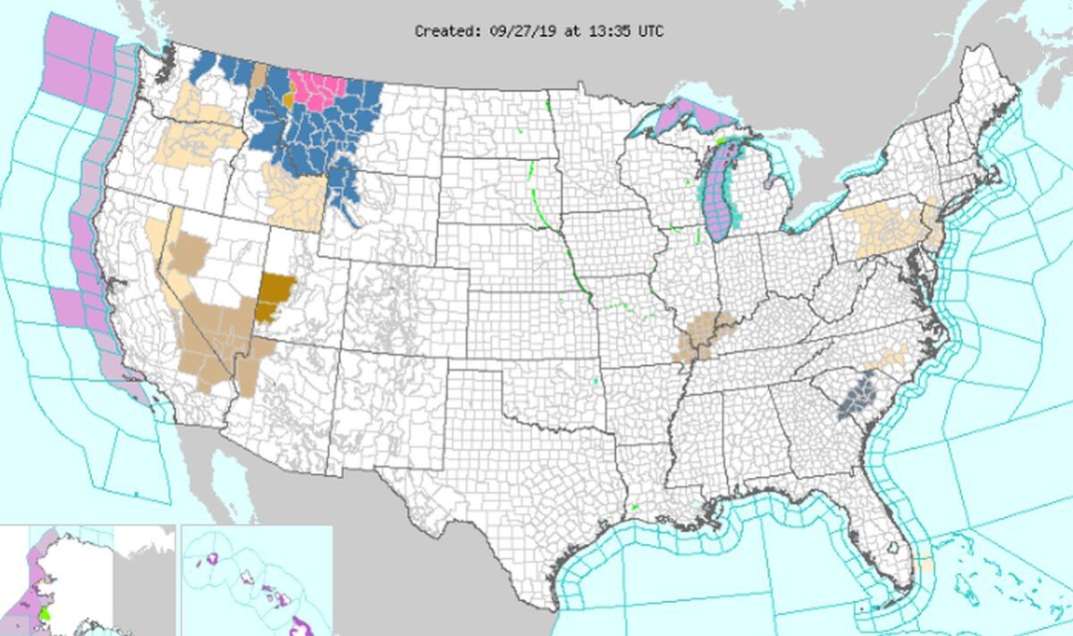

The U.S. National Weather Service (NWS) is warning that a “major winter storm” is slated to bring snow, strong winds, and low visibility to the northern Rockies region.
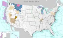
Parts of Montana, Idaho, Wyoming, and eastern Washington were under winter storm watches or warnings, according to the agency.
“Treacherous travel conditions are likely to develop, especially in Montana and Idaho. Some areas may see over two feet of snow. From the central Plains to the Great Lakes region, severe thunderstorms and heavy rainfall will be possible on Friday,” the government forecaster said on its website.
Here are snow totals for first round of snow Fri nite – Sun. Hazardous travel possible along the western foothills. Hunters/those with outdoor plans prepare for cold, wet weather. More snow expected next week, stay tuned. #MTwx #WYwx pic.twitter.com/D7xGwJQ1Rf
— NWS Billings (@NWSBillings) September 25, 2019
Montana is forecast to be the hardest-hit during the storm.
“This is a significant fall storm that could produce significant widespread impacts. Near blizzard conditions are possible in some areas,” the NWS Great Falls said in a report. “What makes this storm more significant is the snowfall will be wet/heavy and with leaves still on the trees, significant tree damage, along with power line damage, is possible.”
The highest amount of snow is slated to fall in the mountains but some valleys could see snow in the area.
“Accumulations will be minimal, but for so early in the season, it will be a major impact, along w/all the other impacts we’ll see,” the NWS Missoula wrote on Twitter. “Suffice to say: this will be a historic storm.”
Weekend #WinterStorm UPDATE: it looks like valley #snow is becoming more likely. Accumulations will be minimal, but for so early in the season, it will be a major impact, along w/all the other impacts we’ll see. Suffice to say: this will be a historic storm. #mtwx #idwx pic.twitter.com/yRN6niqeST
— NWS Missoula (@NWSMissoula) September 25, 2019
In elaborating on the system, the agency said the storm is developing along a front over the northern Rockies, and it will develop over the northern high plains region before moving east.
Harsh winds, heavy snow, and low temperatures will “produce downed power lines with power outages and tree damage,” according to the NWS website.
And meanwhile, “The temperatures will be below average over parts of the Pacific Northwest, Great Basin, California, into the Northern Rockies and Northern High Plains. In contrast, temperatures will be much above average over parts of the Central to Southern Plains into the East,” forecasters said.
In contrast, there will be above-average temperatures across the East Coast and Midwest, forecasters said.
 Friends Read Free
Copy
Facebook
Tweet
Friends Read Free
Copy
Facebook
Tweet