
A massive earthquake initially measured at 7.4 magnitude struck off the coast of Guatemala at about 8 a.m. on July 17, according to the U.S. Geological Survey (USGS).
The National Weather Service has issued a tsunami threat warning near the coast of Chiapas, Mexico.
The USGS initially measured the quake at 7.4 magnitude but downgraded it slightly to 7.3 after review.
The agency expects the event could be felt across the state of Chiapas and into Oaxaca, Tabasco, Veracruz, and in parts of Guatemala and El Salvador, according to initial maps.
Local officials have not yet reported damage or injuries from the earthquake.
Residents were urged to move away from the coast and seek higher ground during the resulting tsunami threat alert, which triggered public alarms in nearby cities.
The quake was centered about 10 miles deep in the Gulf of Tehuantepec, about 45 miles from Puerto Madero in the state of Chiapas, Mexico, the USGS reported.
A 5.3-magnitude aftershock struck about 30 minutes after the first quake.
The area experienced several additional aftershocks ranging from 5 to 6 magnitude in the first few hours of the event, including one 5-magnitude quake on land near Tapachula de Cordova y Ordonez, Mexico, the USGS reported.
Mexican President Claudia Sheinbaum reported no damage in Chiapas and Tabasco after speaking with the governors.
“Protocols are being activated in neighboring states,” Sheinbaum said in a post on X.
Mexico’s navy secretary recommended the public stay away from beaches for the next six hours because of the tsunami risk. Sheinbaum advised the public to follow public safety warnings.
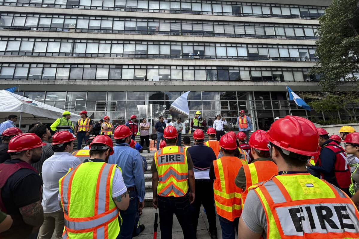
“Authorities from all three levels of government are conducting inspections in the territory to assess possible structural impacts and coordinate preventative measures,” Sheinbaum said.
This is a breaking story. Check back for updates.
 Friends Read Free
Copy
Facebook
Tweet
Friends Read Free
Copy
Facebook
Tweet