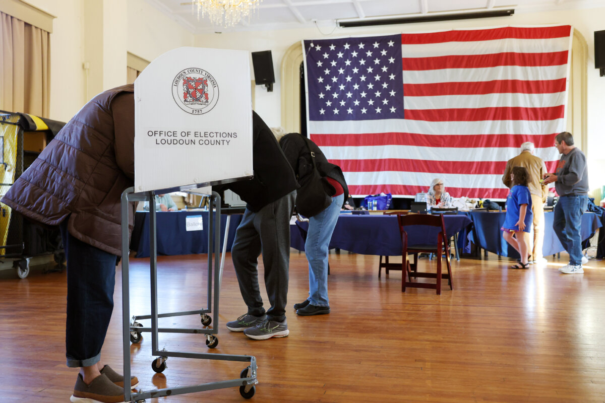

Voters in Virginia head to the polls on April 21 to decide whether the state legislature can redraw the commonwealth’s congressional map.
If a majority of voters choose “Yes” on the question of whether to temporarily circumvent the state’s redistricting commission, it could give Democrats 10 congressional seats and Republicans just one—a drastic shift from the current map, which is six Democratic districts and five Republican districts. The measure would take effect until 2030, when redistricting would be done by the commission.
The map laid out in the special election referendum, if accepted and approved by state courts, would go into effect in November.
Proponents of the redistricting measure say it is necessary in response to Republicans redrawing districts in states such as Texas.
“Donald Trump’s decision to prioritize redrawing voting maps across the country instead of focusing on lowering costs for families has created extraordinary circumstances for states like Virginia. There is now a temporary proposal aimed at preserving a fair playing field and protecting Virginia voters,” said Sens. Tim Kaine (D-Va.) and Mark Warner (D-Va.) in a Feb. 21 statement.
Critics, such as former Virginia Gov. Glenn Youngkin, call the vote a power grab by the Democrats.
“What we see here is the worst of the worst trying to disenfranchise millions and millions of Virginians,” Youngkin told Fox News on April 17.
Northern Virginia, a strongly Democratic region, would be split into five separate districts under the proposal. Several of these districts would stretch outward from the Washington area in twisting shapes to pull in more conservative rural parts of the state.
The redesigned 7th Congressional District, for example, begins in Northern Virginia and extends so far that it splits into two sections to avoid including additional Democratic-leaning areas around Charlottesville, which are instead placed in another district. Its unusual outline has been compared to a lobster, with a long narrow extension and two broader ends.
The proposed 6th Congressional District would follow the Blue Ridge Parkway across central Virginia, linking a series of Democratic-leaning communities. It would run from Harrisonburg, home to James Madison University, through Charlottesville and the University of Virginia, then continue to Lynchburg—where Liberty University is located—before passing through Roanoke and ending in Blacksburg, home to Virginia Tech.
By contrast, under Virginia’s current congressional map, the Richmond region is largely contained within the 4th District. That district stretches from the state capital south to the North Carolina border and supported former Vice President Kamala Harris by a margin of 32 points.
The most understated adjustment appears in the Norfolk area, particularly in the closely contested 2nd Congressional District. Under the proposed map, a district that was essentially even in the 2024 presidential race would become more favorable to Democrats. This shift is achieved by swapping out rural, Republican-leaning areas for densely populated, strongly Democratic communities closer to Norfolk.
The addition of four seats in Virginia could be enough to give Democrats control of the House for the final two years of President Donald Trump’s administration, following a wave of redistricting efforts across the country.
The latest round of redistricting battles began last year in Texas, where Republicans—at Trump’s urging—approved new maps aimed at securing up to five additional congressional seats. In response, California advanced a similar referendum that could deliver Democrats a comparable gain. Meanwhile, Ohio, Missouri, and North Carolina have also redrawn their maps to favor Republicans, and Florida is expected to consider a new map as early as next week.
Reuters contributed to this report.
 Friends Read Free
Copy
Facebook
Tweet
Friends Read Free
Copy
Facebook
Tweet