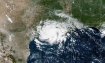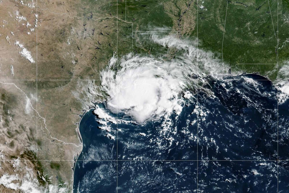

Tropical Storm Edouard made landfall on Tuesday along the northwestern Gulf Coast, said the National Hurricane Center (NHC) in an afternoon update.
The storm, which has 50 mph maximum sustained winds, is “just inland” from the coast, the agency said. Its center is located along the Texas-Louisiana border.
In its 4 p.m. forecast, the NHC said the center of Edouard would continue moving inland over the eastern part of Texas from Tuesday evening into Wednesday.
Tropical storm warnings are still in effect from Port Bolivar, Texas, to the Vermilion-Cameron parish line, the NHC said, which added that tropical storm conditions are still occurring in the threatened area.
A storm surge of 1 to 3 feet is expected from High Island, Texas, to the Vermilion-Cameron parish line, the hurricane agency said.
Edouard is also forecast to produce rainfall totals of 3 to 7 inches with maximum totals of up to 12 inches in the upper Texas coast through the eastern-central part of the state, according to the forecast advisory.
Two to 4 inches are also expected in southwestern Louisiana, it added.
The heavy rains are “likely to produce flash flooding, especially in low-lying and urban areas,” said the center. “Significant flash flooding is possible. River flooding may also be possible.”
Flash flood warnings were issued in counties and parishes along the southern Louisiana-Texas border near the Gulf, while the National Weather Service said that “low-lying and urban areas” will see the highest risk from flash flooding associated with the storm.
A tornado could also possibly form on Tuesday evening across parts of southwest Louisiana and southeast Texas as the storm hits land, the NHC said.
Earlier on Tuesday, the NHC warned that the storm could strengthen into a hurricane. However, it said weakening is expected to occur over the next day as the storm eases into a tropical depression and dissipates on Wednesday evening.
In the Pacific Ocean, forecasters said newly formed Hurricane Lowell was expected to remain several hundred miles away from Hawaii for the next several days, but swells from the hurricane were likely to hit parts of the islands beginning on Wednesday.
Tropical Storm Marie formed in the Pacific Ocean early on Tuesday well offshore from southwest Mexico and was not threatening land, the center said.
Forecasters said the storm, about 400 miles southwest of Manzanillo, was gradually strengthening and was expected to become a hurricane by Wednesday night.
Elsewhere in the Pacific, Karina became a hurricane on Sunday, fueled by warm waters far from any shore. It strengthened into a powerful Category 4 storm, but forecasters said on Tuesday that it was expected to weaken.
Meanwhile, the remnants of Tropical Storm Dolly brought rain and thunderstorms to parts of Haiti and the Dominican Republic, the Turks and Caicos, and the Bahamas, the hurricane center said.
The Associated Press contributed to this report.
 Friends Read Free
Copy
Facebook
Tweet
Friends Read Free
Copy
Facebook
Tweet